In-situ measurements of bottom boundary layer processes in the deep South China Sea
In-situ measurements of bottom boundary layer processes in the deep South China Sea
Abstract:
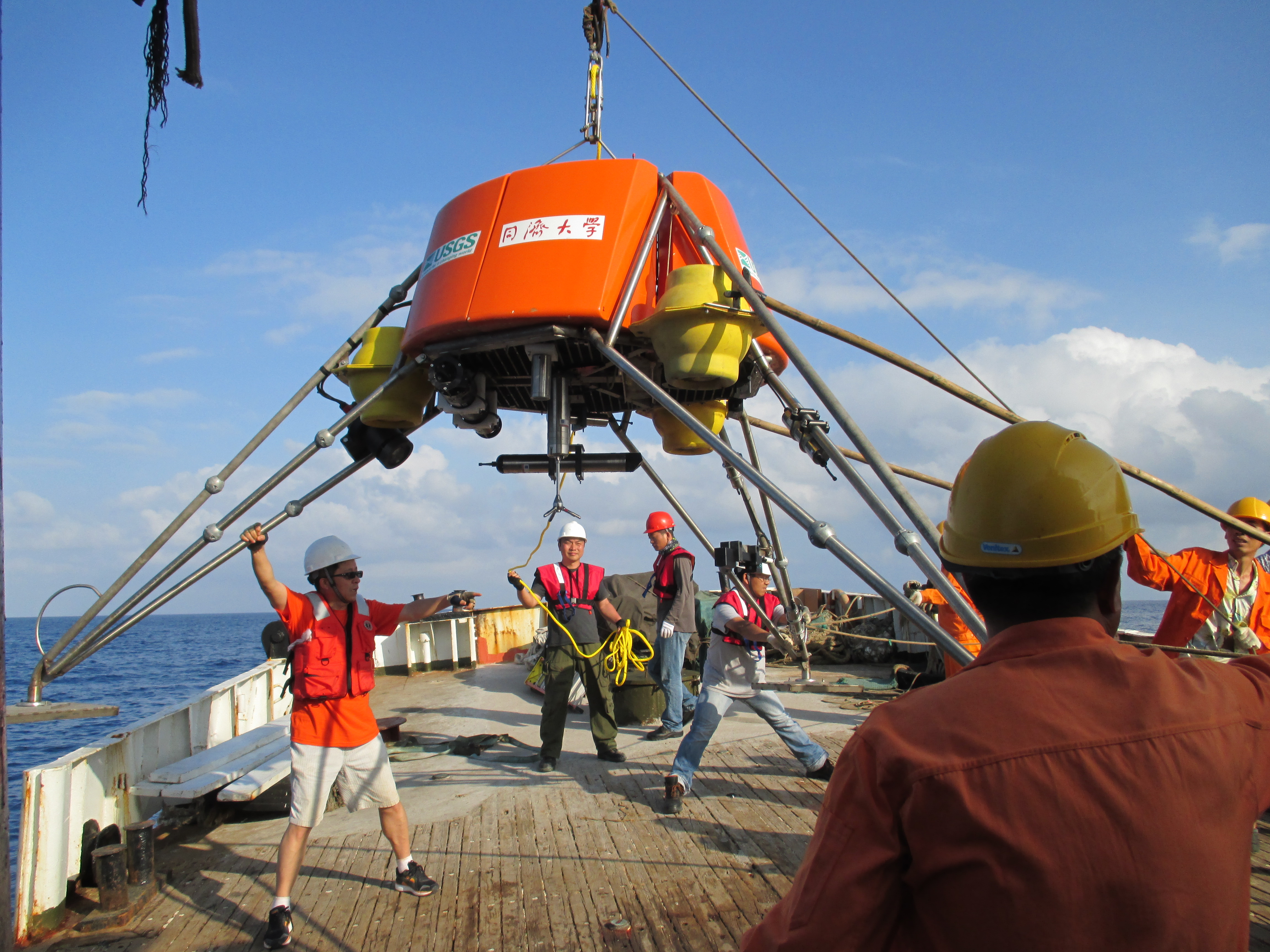
As part of the South China Sea Deep project, we deployed a free-ascending tripod (FAT) on the sea floor of northern South China Sea at a water depth of 1900 m. During the 5-month deployment, the tripod hosted a suite of acoustic and optical oceanographic instruments that simultaneously measured time-series of 3-D velocity structure of the near bottom flows, temperature and salinity, water turbidity (sediment concentration), and particle size variations. A camera system and an acoustic altimeter closely monitored fine scale changes of the sea floor that could have resulted from either physical processes (erosion/deposition) or biological activities. Our goal of the tripod work, first-ever such study in South China Sea, along with several subsurface moorings that were also collecting flow and sedimentological data in the area, was to investigate the bottom boundary layer (BBL) processes and the regional deep current circulation surrounding a large body of sediment deposit whose formation mechanism and origins of sediment are still unclear. In addition, the tripod instruments were set up to capture the in-situ BBL signature of passing “benthic storms” that are believed to be the most important BBL processes in deep ocean. This presentation also includes a brief description of the technological advances implemented in the FAT deep-water tripod.