Land-Energy Nexus: Life Cycle Land Use of Natural Gas-Fired Electricity
Abstract:
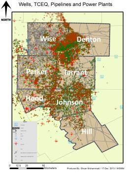
We focus on seven counties in the Barnett shale region in Texas that represent over 90% of total Barnett Shale gas production. In addition to assessing the gathering and transmission pipeline network, approximately 500 sites are evaluated from the five life cycle stages plus power plants. For instance, assuming a 50 foot right-of-way for transmission pipelines, this part of the Barnett pipeline network occupies nearly 26,000 acres. Site, road and water components to total area are categorized. Methods are developed to scale up sampled results for each component type to the full population of sites within the Barnett. Uncertainty and variability are charaterized.
Well-level production data are examined by integrating commercial datasets with advanced methods for quantifying estimated ultimate recovery (EUR) for wells, then summed to estimate natural gas produced in an entire play. Wells that are spatially coincident are merged using ArcGIS. All other sites are normalized by an estimate of gas throughput. Prior land use estimates are used to validate the satellite imagery analysis. Results of this research will provide a step towards better quantifying the land footprint of energy production activities and a methodologically consistent baseline from which more robust comparisons with alternative energy choices can be made.