Estimating Soil Carbon Pools in the Northern Permafrost Region: Challenges in Adapting Datasets to Models
Abstract:
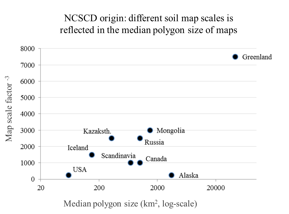
The NCSCD is thus a dataset with its roots in traditional soil survey and soil map data and with substantial uncertainties and data-gaps. The original maps are subdivided into polygons where soil specialists have mapped different coverages of soil orders. The NCSCD has been gridded and is currently in use for many different model-based studies. This conversion of polygon-based data to the gridded world of spatial or process-based models can affect accuracy, precision and usability of a dataset. There are also inherent difficulties in assessing the uncertainty of stock or process quantifications based on polygon soil maps such as the NCSCD.
Soil science is moving into a fully digital world where new maps of soil order distribution or soil properties are based on gridded remote sensing products. Such data can more easily be scaled and adapted for use in grid-based soil models. However, it is argued that the traditional soil maps are still extremely valuable data-sets that contain information that may be lost in fully digital soil mapping approaches. This presentation discusses these issues and gives some examples of how existing pedon databases and soil maps can be made useful for broad scale model applications.