Are we missing earthquakes? A new insight into the M 8 1556 Huaxian earthquake
Abstract:
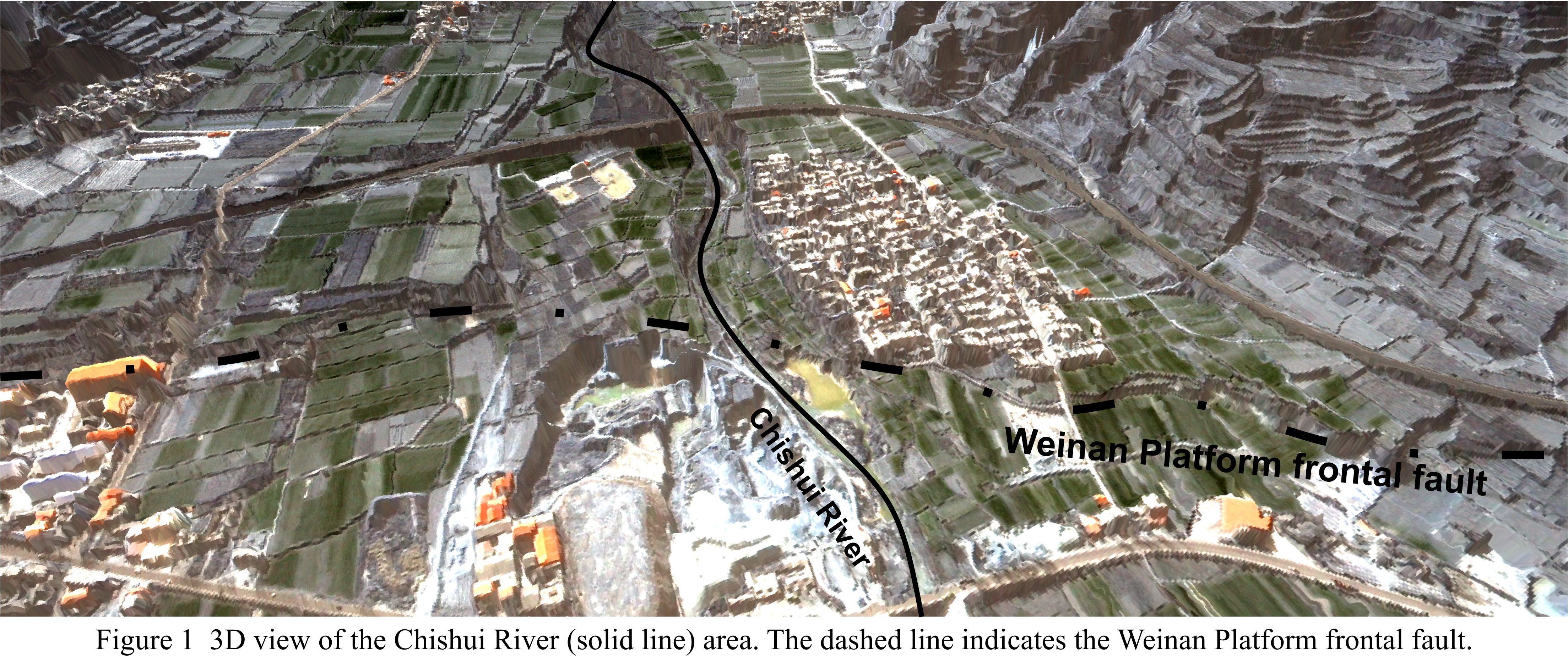
We have used Pleiades stereo imagery to produce a 1-metre resolution digital elevation model (DEM) of the area where the Chishui River cuts through the eastern segment of the Weinan Platform frontal fault. More than three thousand GPS measurements were collected in the field using network Real Time Kinematic GPS in order to calibrate and assess the Pleiades DEM. After making use of a few ground control points, the mean difference between the Pleiades DEM and GPS is 0.1 metres with a standard deviation of 0.9 metres. At least three river terraces (T1, T2 and T3) can be identified on the DEM. The youngest terrace (T1) postdates the last fault movement. Offset of the T2 forms the 8 metre scarp; the older terrace (T3) is offset by ~13 metres across the fault. Charcoal was collected from ancient soil and loess layers that overlie gravels in all three terraces.
The surface geomorphology, along with a fault exposure in a nearby quarry excavation, allows us to conclude that the 8-metre scarp was formed in a single earthquake. Furthermore, it appears that the 1556 event was preceded by a rupture of similar magnitude, sometime in the period 2000-6000 ka. The Huaxian fault is a relatively slow-moving fault, and in the Holocene has failed in large-magnitude, large stress-drop earthquakes separated by long intervals of time.