Version 5 of Forecasts; Forecasts of Climate-Associated Shifts in Tree Species
Abstract:
A multivariate clustering procedure was used to quantitatively delineate 30 thousand environmentally homogeneous ecoregions across present and 8 potential future global locations at once, using global maps of 17 environmental characteristics describing temperature, precipitation, soils, topography and solar insolation. Occurrence of each tree species on FIA plots and in GBIF samples was used to identify a subset of suitable ecoregions from the full set of 30 thousand. This subset of suitable ecoregions was compared to the known current present range of the tree species. Predicted present ranges correspond well with existing ranges for all but a few of the 335 tree species. The subset of suitable ecoregions can then be tracked into the future to determine whether the suitable home range remains the same, moves, grows, shrinks, or disappears under each model/scenario combination.
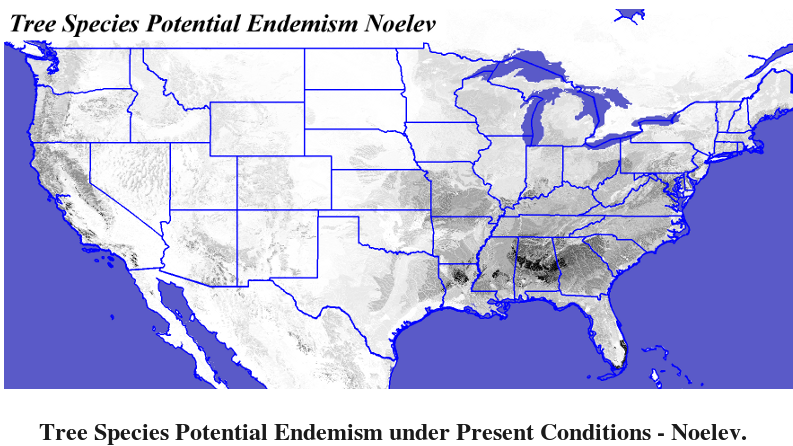
A quantitative niche breadth analysis allows sorting of the 17 environmental variables from the narrowest, most important, to the broadest, least restrictive environmental factors limiting each tree species. Potential tree richness maps were produced, along with a quantitative potential tree endemism map for present and future CONUS. Using a new empirical imputation method which associates sparse measurements of dependent variables with particular clustered combinations of the environmental driver variables, and then estimates values for unmeasured clusters, we interpolated FIA measurements of productivity into continuous maps showing productivity across each tree's entire present and future ranges.