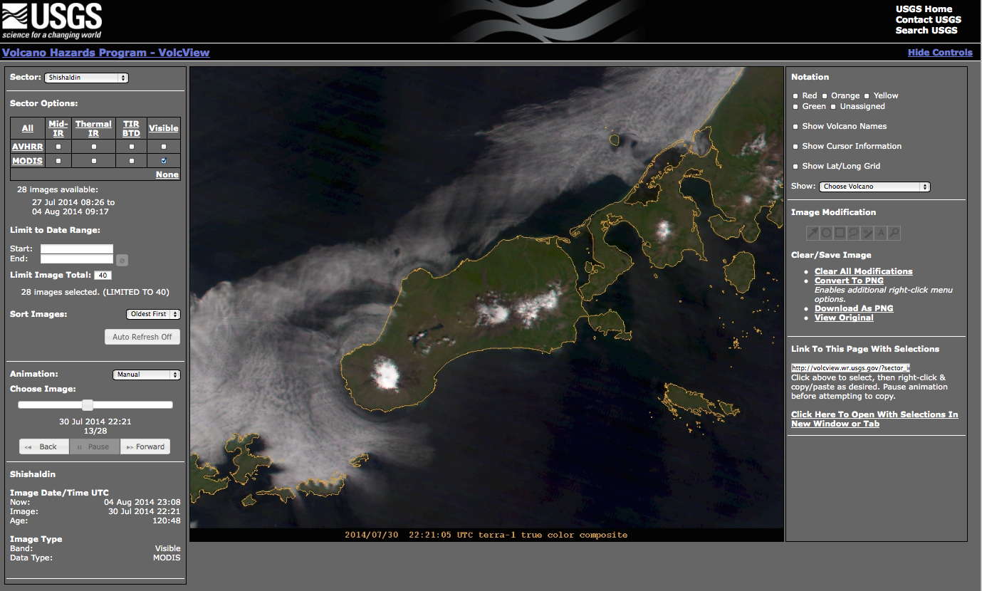
Volcview: A Web-Based Platform for Satellite Monitoring of Volcanic Activity and Eruption Response
Abstract:
Initial geographic coverage is of the volcanoes in Alaska, the Russian Far East, and the Commonwealth of the Northern Mariana Islands. Coverage of other volcanoes in the United States will be added in the future. Near-real-time satellite data from NOAA, NASA and JMA satellite systems are processed to create image products for detection of elevated surface temperatures and volcanic ash and SO2 clouds. VolcView uses HTML5 and the canvas element to provide image overlays (volcano location and alert status, annotation, and location information) and image products that can be queried to provide data values, location and measurement capabilities. Use over the past year during the eruptions of Pavlof, Veniaminof, and Cleveland volcanoes in Alaska by the Alaska Volcano Observatory, the National Weather Service, and the U.S. Air Force has reinforced the utility of shared situational awareness and has guided further development. These include overlay of volcanic cloud trajectory and dispersion models, atmospheric temperature profiles, and incorporation of monitoring alerts from ground and satellite-based algorithms. Challenges for future development include reducing the latency in satellite data reception and processing, and increasing the geographic coverage from polar-orbiting satellite platforms.