Reservoir Characterization of Semutang Gas Field: A High Amplitude Faulted Structure in SE Bangladesh, using Well Log, Seismic Reflectivity and Attributes
Reservoir Characterization of Semutang Gas Field: A High Amplitude Faulted Structure in SE Bangladesh, using Well Log, Seismic Reflectivity and Attributes
Abstract ID#: 35449
English Abstract:
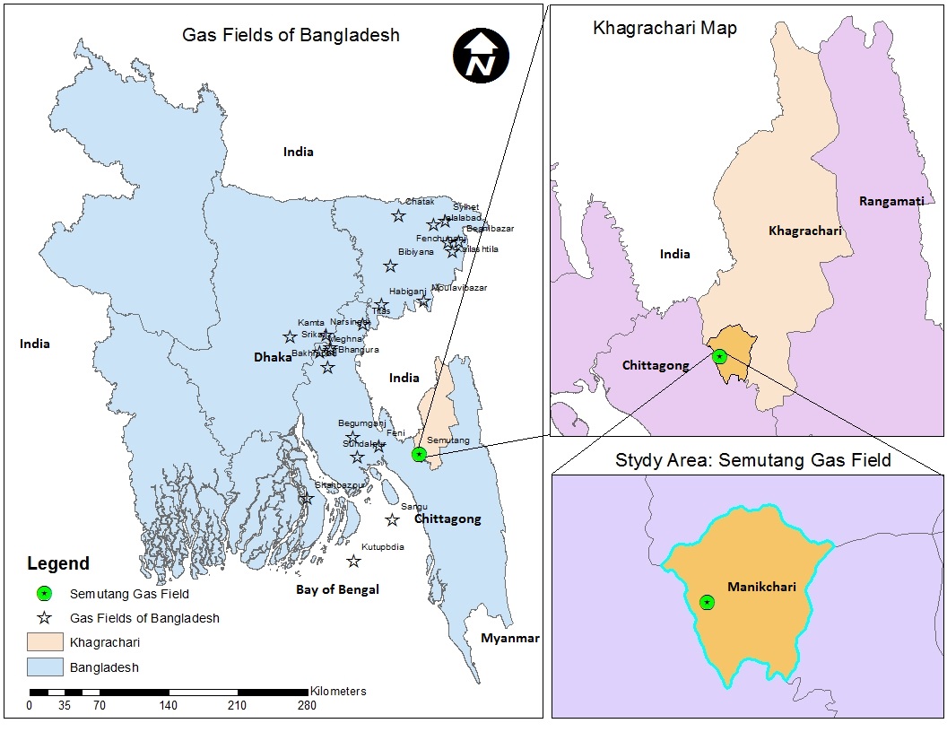
Bengal Basin has a proved gas rich province which is blessed to Bangladesh, a energy starved nation. Most of the gas fields in Bangladesh are found in the gentle to moderate structures in western part of Chittagong-Tripura Fold Belt. Among intensely folded major anticlines of thrust belt only gas producing Semutang field is discovered so far. It is located on the plunging nose of an anticline which is breached at least to the level of Miocene Surma formation to the north, at the Indian border. Proper identification of gas bearing reservoir zone is the first priority to meet the country’s growing demand on the prime fuel. The primary goal of this research is to obtain reservoir properties (porosity, average density, velocity) from surface seismic data complemented by available well logs. In petroleum exploration, the first step towards a successful hydrocarbon discovery is a recognizable subsurface image of seismic data. Seismic data is the convolution operation between the earth reflectivity and a source wavelet. Inverting the seismic data to the reflectivity is attractive since it would improve the subsurface image quality and provide a physical parameter (reflectivity) that is related to formation properties directly. A suite of properties of seismic trace (amplitude, phase & frequency) is cross-plotted with the well logs to find the relation between the two types of data. The attributes are selected on the basis of correlation with the petrophysical property which are effective in estimating reservoir properties away from the well. A similarity map is produced to map the field based on similarity to the reference well & derivation of properties from each trace is measured by formal inversion. For the analysis & interpretation Opendtect & Petrel softwares are used. The outcomes of the research are an improved subsurface image of the seismic data, a porosity prediction for the reservoir, a reservoir quality map & a fault modeling. Actual gas bearing zones are determined which will be helpful to reduce the cost of exploratory well drilling & to well design. It contributes to the prediction of the properties as well as to the economic potential of the field. Though onshore part of the country has been explored widely, still there is possibilities if re-evaluated or new method (advanced seismic attributes) is applied.